US maps to print and color – includes state names

US maps to print & color - includes state names
Note: This article may feature affiliate links, and purchases made may earn us a commission at no extra cost to you. Find out more here.

Need a map of the United States of America? We should have you covered!

Below you will find several US maps to print and color — or not color, if you prefer. Multiple designs are here to help you find just the right one.


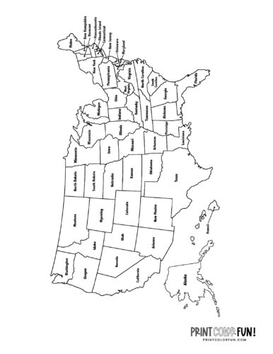
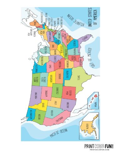
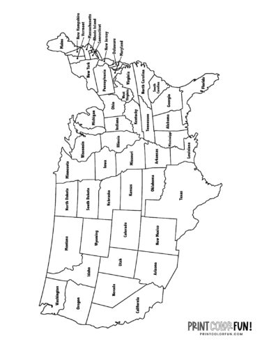
Basic USA map to print & color – includes state names

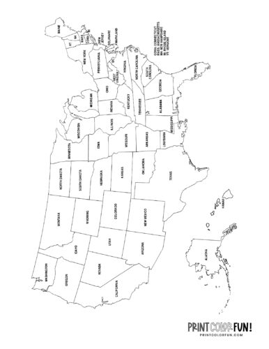
USA map to print & color - includes state names


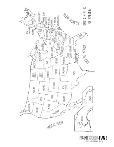
Black & white American maps with state names

Here are US maps showing all 50 states: the mainland of America, and also Alaska and Hawaii.

United States of America map to print and color - includes state names

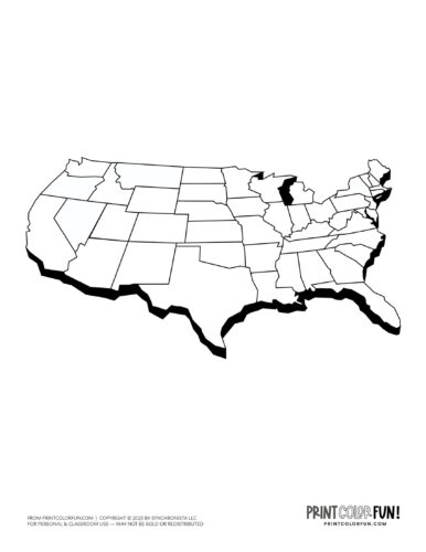
US map coloring page


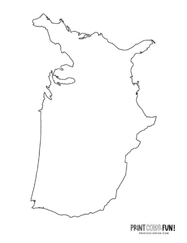
Blank US map – Outline

Blank US map - Outline


United States map with separate states in color

United States map with states in color


Classic US map: Country & state outlines (no names)

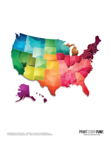
US map in color from PrintColorFun com


US map color clipart

US map color clipart from PrintColorFun com (3)


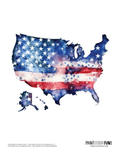
US map with flag overlay color clipart

US map with flag overlay color clipart from PrintColorFun com


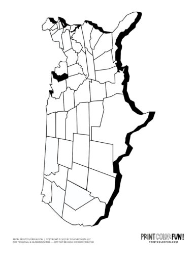
US map side view black and white drawings

US map side view black and white drawing from PrintColorFun com (2)

US map side view black and white drawing from PrintColorFun com (3)


More maps: Mainland US map

This map includes only the continental United States (no Hawaii, Alaska, or other territories)

Mainland US map to print & color - includes state names


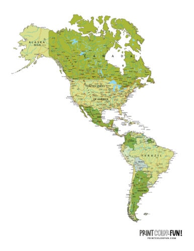
The Americas – North America, Central America & South America map

The Americas - North America and South America map from PrintColorFun com

Pinterest
Facebook
Twitter
Email
Pocket

You might also like these...